


Advanced surface creation
The Topoplan Module creates surfaces by several methods:
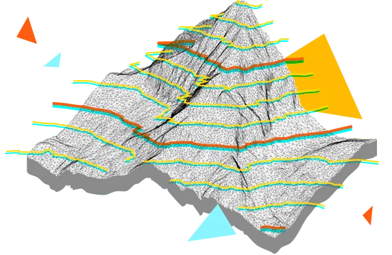
- Create TINs by points
- Explode clouds into points
- Import elevation grids
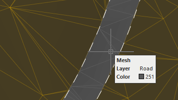
- Convert models to 3D faces, submeshes, and polyface meshes

nanoCAD’s Topoplan module extends the nanoCAD platform with tools for digital terrain modeling and documentation. It is designed to make the work of surveyors more efficient.
Download nownanoCAD platform provides you with a full set of basic and advanced design tools for creating and editing 2D/3D objects. It offers multiple drawing and editing methods for most geometric elements. nanoCAD platform is the base on which you build a more powerful CAD system to your specifications.
Topoplan Module converts nanoCAD Platform to an engineering solution for creating a digital terrain model and preparing topographic plan drawings.
.png)
The Topoplan Module creates surfaces by several methods:
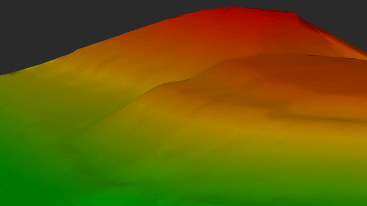
The Topoplan Module applies textures on surfaces:
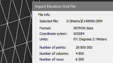
The Topoplan Module creates digital terrain models from multiple data sources:
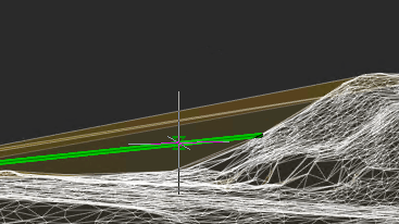
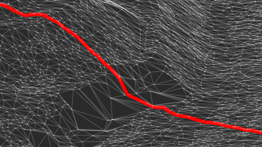
The Topoplan Module has comprehensive tools for working with surfaces and constructing contours:
The Topoplan Module has additional tools for working with surfaces:
The Topoplan Module has these additional tools for working with reliefs:
nanoCAD can be used on its own as a cost-effective DWG-editor, or customized with essential modules: Construction, Mechanica, Raster, Topoplan and 3D Solid Modeling.

Lot B6-X3. My Dinh 1 Urban Area
Cau Dien, Nam Tu Liem, Hanoi.

097 196 0055
Mon-Fri 8am-5pmGet Subscribed!


